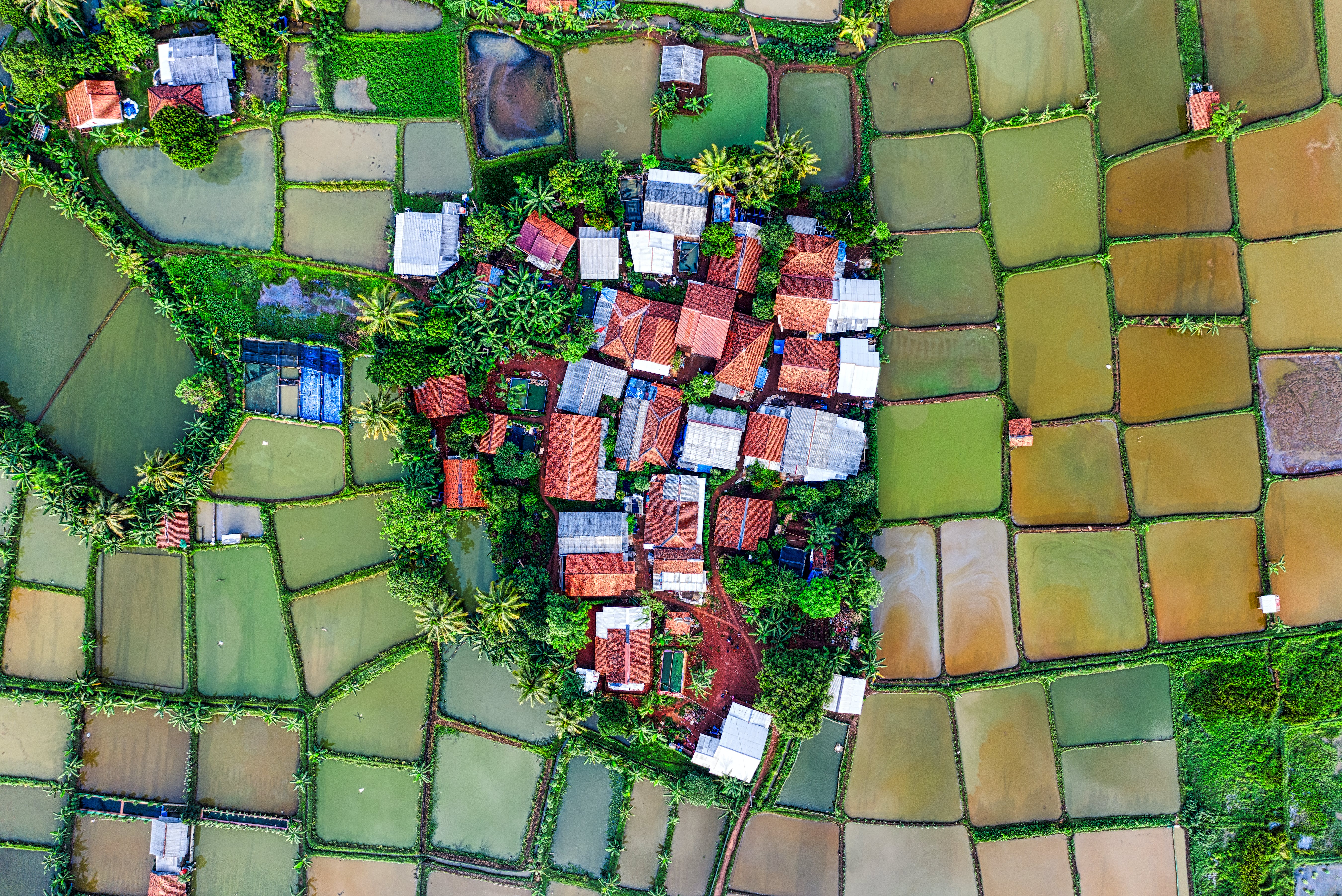
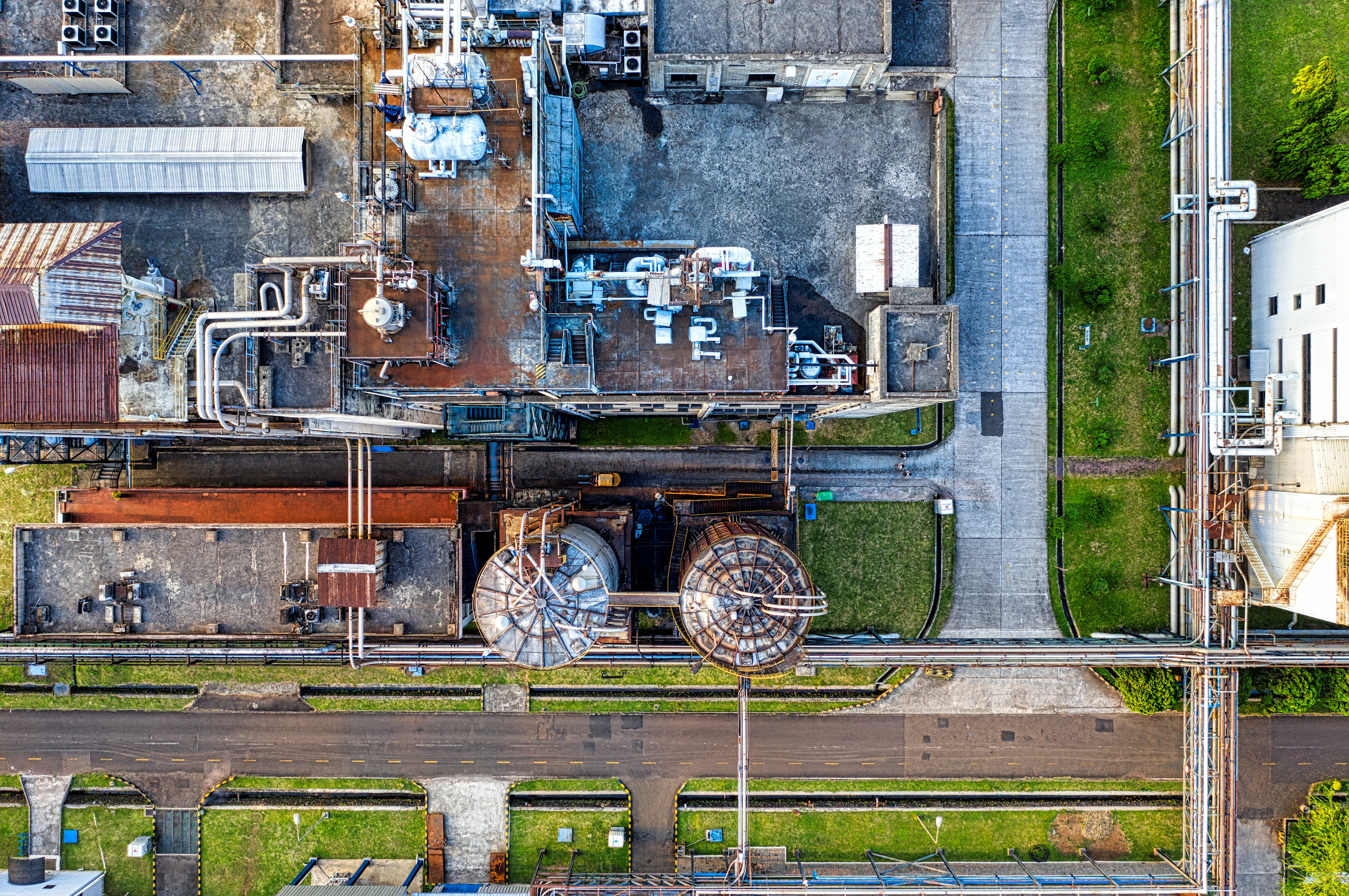
Advances in satellite imagery, location-based services, and GIS software have made geospatial technology a part of our daily lives. It helps us shape how we live, work, and eat while solving some of the planet’s most urgent issues. Still evolving, geospatial technology has spurred improvements in transportation, construction, agriculture, disaster management, and other sectors—and so are our offerings.
We generate georeferenced orthomosaics, Digital Elevation Models (DEMs), Digital Terrain Models (DTMs), point clouds, textured mesh 3D models and GIS products using highly accurate and advanced technology of drone mapping. The high-quality aerial data captured from drones or UAVs, providing you with a range of measurements, saving time and money on your project


